About 50 researchers from around the world attended the event, mostly by remote connection. The conference only featured oral sessions, with 44 contributions. Three invited keynote talks, by Michael Hutchinson (Australian National University College of Science), Igor Florinsky (Russian Academy of Sciences) and Marco Cavalli (CNR IRPI, Padua) enriched the content of the conference. Contributions were spread over three days, grouped by topic: “use of digital elevation, terrain and surface models” on day 1, “dynamics of earth surface: automated surface analysis and modelization” on day 2, and “modeling geomorphological processes” on day 3.
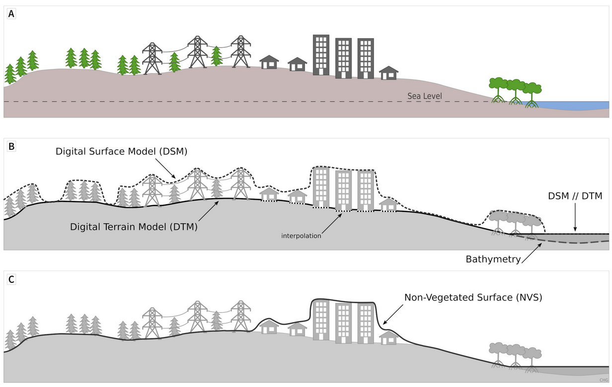
All of the sessions demonstrated that quantitative analysis of the Earth’s surface is closely related to the scale at which the surface itself is described/represented. Research on a global scale (e.g. aimed at the definition of accurate hydrographic networks) was counterbalanced by studies that focused on centimetric portions of Earth’s surface (e.g. small plates where accretion of tufa/travertine is studied). A related relevant topic was the comparison of lidar data with global (or quasi-global) DEMs and among different global DEMs, using different methods in many study areas. Explicit comparisons highlighted that, in selected areas representative of most existing settings, Copernicus DEM is the best performing; other comparisons in different areas and methods favored MERIT DEM. In all cases, lidar data represents the benchmark. Despite that, a discussion highlighted that peculiar applications may not be so sensitive to details represented in elevation data from lidar and/or SfM measurements to justify the much higher cost. There also have been an explicit proposal to merge global and local elevation data, already existing and available online for Europe.
This also lead to a discussion about the characteristic scale of terrain analysis, and a few presentations described multi-scale approaches as mature tools for a variety of application. Mainly, they described multi-scale methods for estimation of terrain roughness, curvatures, and landform mapping. The relationship between multi-scale approaches and characteristic scale may lead to need of optimization of numerical parameters for terrain analysis and classification.
A few presentations focused on the geomorphological and physical meaning of maps derived from digital terrain models (such as curvatures) or on the definition of new functions aimed at representing the topology of surface water flow directions or the selection of features (derived from DEM) which are relevant in supervised classification applications.
Applications of geomorphometry concepts and algorithms to other disciplines/topics have been numerous and included tectonics, soil erosion, landslide susceptibility, thermokarst phenomena, river forms, coastal habitat and coastal dunes, crevasses in polar ice, inundated areas, glacial cirques and volcanic eruptions.
One addition to the topics of this year’s edition of the conference was specifically commercial and industrial application. The scientific program actually included a few contributions explicitly reporting about industrial processes (microscopic analysis of silicon wafer “topography”) and commercial applications (deposition and analysis of submarine cables, rockfall susceptibility along the Italian national railway). Other contributions, even if not specifically commercial, highlighted the use of algorithms borrowed from computer graphics for terrain segmentation, and adaptation of general purpose software for marine geomorphometry. Moreover, commercial and industrial applications were one of the key topics – along with the role of local/global elevation data – for a proposed session at the upcoming European Geoscience Union General Assembly, prepared by a few of the participants of Geomorphometry 2021.
Contributions presented at the conference are available as peer-reviewed short papers from the book of Proceedings of the 2020 submissions (CNR Edizioni, Rome), or on Zenodo, for new submissions. Most of the presentations are also available as PDF and/or video recording at the conference website; a few of the contributions also have a link to published papers, either on the special issue “Advances in geomorphometry” in the journal Transaction in GIS.
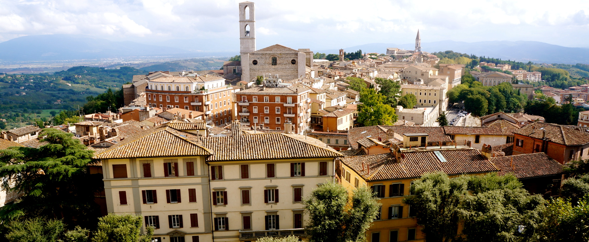
The beautiful city of Perugia
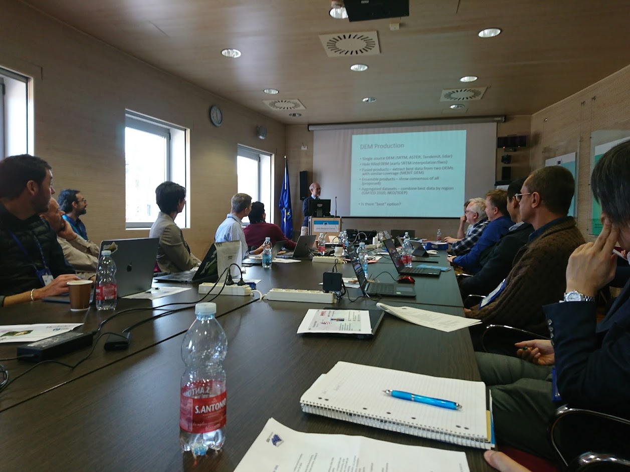
In-person attendance to the conference
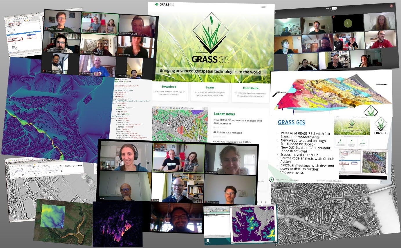
Happy faces from all around the world