Blog

Geomorphometry 2023 - Venue

Conference Venue

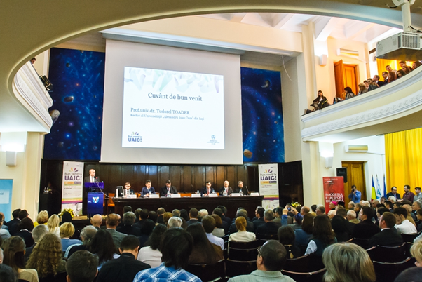
“Mihai Eminescu” Aula Magna of “Alexandru Ioan Cuza” University of Iasi

Total capacity: 426 seats, of which 258 are on the ground floor and 168 are on the balcony.

Facilities: laptops; video projection; 7 static microphones – desk; 2 portable microphones; Wireless sound amplification system (2x300 W); Reflectors; the possibility of organizing cocktails and coffee breaks, etc.

See the exact location on Google maps: https://goo.gl/maps/JnGCZXyoJkCfEWGbA

Workshops

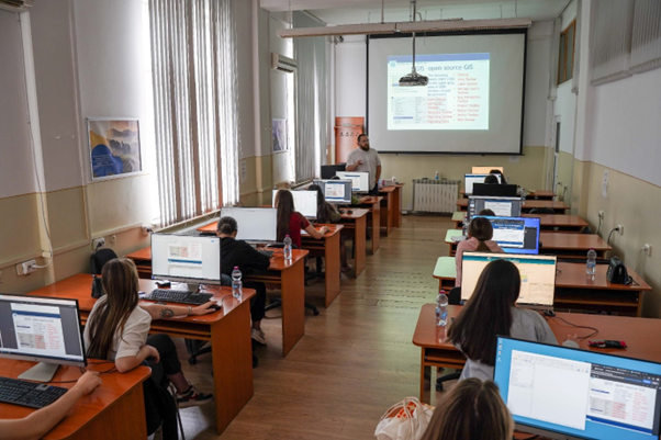
For the workshops, PC rooms from the Department of Geography, Faculty of Geography and Geology will host the attendees.

Posters

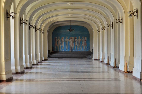
For the posters, there is the Hall of the Echoing Footsteps (https://www.uaic.ro/en/about-uaic/hall-echoing-footsteps/ and the virtual tour https://www.uaic.ro/despre-uaic/prezentare-sala-pasilor-pierduti/), adjacent to the Aula Magna: https://goo.gl/maps/T5VEtcmGWUnS7gLt9

Fieldtrip

The one-day field trip will be an enjoyable itinerary through the Moldavian Plateau, the Romanian Subcarpathians, and the Romanian Carpathians. Geosites, wineries, monasteries, and natural parks will be visited, while geomorphometricians will network, make friends and spend a good time.

Geomorphometry 2023 - Announcement

The International Society for Geomorphometry and the Organizing Committee, are pleased to announce the seventh Geomorphometry Conference to be held in Iasi, Romania, July 10-14 2023. The event is hosted by the Department of Geography, Faculty of Geography and Geology (www.geo.uaic.ro), Alexandru Ioan Cuza University of Iasi (www.uaic.ro).

300 words abstracts and 4-page extended abstracts are expected to be submitted through the Easy Chair system by 15th January 2023 (link for submission)

Contributions to the conference will be evaluated by the scientific committee, and authors will be notified of acceptance/rejection of their abstract by 28th February 2023; extended abstracts (maximum 4 pages) will be collected into a volume of proceedings that will be available online before the conference and printed at the conference. The following template should be used for the extended abstracts: template.

Important links:

Conference website: https://www.geo.uaic.ro/geomorphometry2023/

Abstract template: https://www.geo.uaic.ro/geomorphometry2023/wp-content/uploads/2022/11/geomorphometry_2023_template.doc

EasyChair submission: https://easychair.org/my/conference?conf=geomorphometry2023

Calendar

  • EasyChair system opens for submissions: 10th November 2022
  • Extended 4-page abstracts due to EasyChair: 15th January 2023
  • Workshop proposals due: 15th February 2023
  • Notification of acceptance and required revisions: 28th February 2023
  • Registration opens: 1st March 2023
  • Final camera-ready digital manuscripts due: 30th April 2023
  • Early registration deadline: 1st May 2023
  • Conference: 10th-14th July 2023

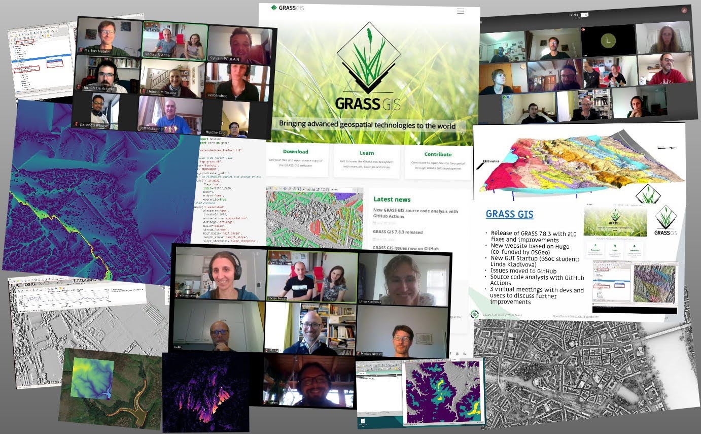
GRASS GIS v8 release end of 2021

The GRASS GIS development team has used the lock-down times also to work hard on the v8 release of the popular GRASS GIS software (see complete list of new functionality).

There are many new additions to the raster library expected and likely Digital Terrain Modeling and analysis should likely run smoother. The GRASS GIS will stay available via QGIS but also will provide direct Python 3 support and of course R community should be able to access GRASS modules directly via the rgrass package.

We are looking forward to seeing the new GRASS GIS in action!

Summary of Geomorphometry 2021

About 50 researchers from around the world attended the event, mostly by remote connection. The conference only featured oral sessions, with 44 contributions. Three invited keynote talks, by Michael Hutchinson (Australian National University College of Science), Igor Florinsky (Russian Academy of Sciences) and Marco Cavalli (CNR IRPI, Padua) enriched the content of the conference. Contributions were spread over three days, grouped by topic: “use of digital elevation, terrain and surface models” on day 1, “dynamics of earth surface: automated surface analysis and modelization” on day 2, and “modeling geomorphological processes” on day 3.

All of the sessions demonstrated that quantitative analysis of the Earth’s surface is closely related to the scale at which the surface itself is described/represented. Research on a global scale (e.g. aimed at the definition of accurate hydrographic networks) was counterbalanced by studies that focused on centimetric portions of Earth’s surface (e.g. small plates where accretion of tufa/travertine is studied). A related relevant topic was the comparison of lidar data with global (or quasi-global) DEMs and among different global DEMs, using different methods in many study areas. Explicit comparisons highlighted that, in selected areas representative of most existing settings, Copernicus DEM is the best performing; other comparisons in different areas and methods favored MERIT DEM. In all cases, lidar data represents the benchmark. Despite that, a discussion highlighted that peculiar applications may not be so sensitive to details represented in elevation data from lidar and/or SfM measurements to justify the much higher cost. There also have been an explicit proposal to merge global and local elevation data, already existing and available online for Europe.

This also lead to a discussion about the characteristic scale of terrain analysis, and a few presentations described multi-scale approaches as mature tools for a variety of application. Mainly, they described multi-scale methods for estimation of terrain roughness, curvatures, and landform mapping. The relationship between multi-scale approaches and characteristic scale may lead to need of optimization of numerical parameters for terrain analysis and classification.

A few presentations focused on the geomorphological and physical meaning of maps derived from digital terrain models (such as curvatures) or on the definition of new functions aimed at representing the topology of surface water flow directions or the selection of features (derived from DEM) which are relevant in supervised classification applications.

Applications of geomorphometry concepts and algorithms to other disciplines/topics have been numerous and included tectonics, soil erosion, landslide susceptibility, thermokarst phenomena, river forms, coastal habitat and coastal dunes, crevasses in polar ice, inundated areas, glacial cirques and volcanic eruptions.

One addition to the topics of this year’s edition of the conference was specifically commercial and industrial application. The scientific program actually included a few contributions explicitly reporting about industrial processes (microscopic analysis of silicon wafer “topography”) and commercial applications (deposition and analysis of submarine cables, rockfall susceptibility along the Italian national railway). Other contributions, even if not specifically commercial, highlighted the use of algorithms borrowed from computer graphics for terrain segmentation, and adaptation of general purpose software for marine geomorphometry. Moreover, commercial and industrial applications were one of the key topics – along with the role of local/global elevation data – for a proposed session at the upcoming European Geoscience Union General Assembly, prepared by a few of the participants of Geomorphometry 2021.

Contributions presented at the conference are available as peer-reviewed short papers from the book of Proceedings of the 2020 submissions (CNR Edizioni, Rome), or on Zenodo, for new submissions. Most of the presentations are also available as PDF and/or video recording at the conference website; a few of the contributions also have a link to published papers, either on the special issue “Advances in geomorphometry” in the journal Transaction in GIS.


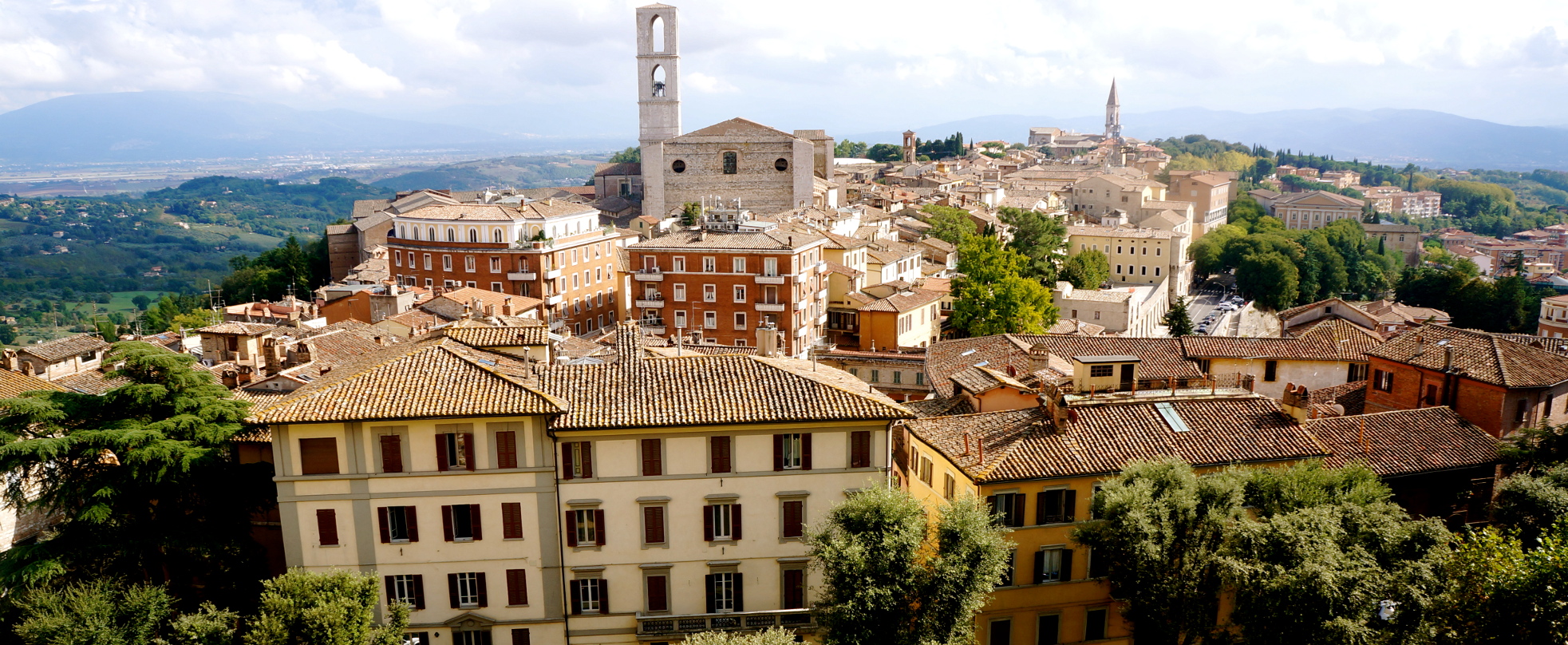
The beautiful city of Perugia


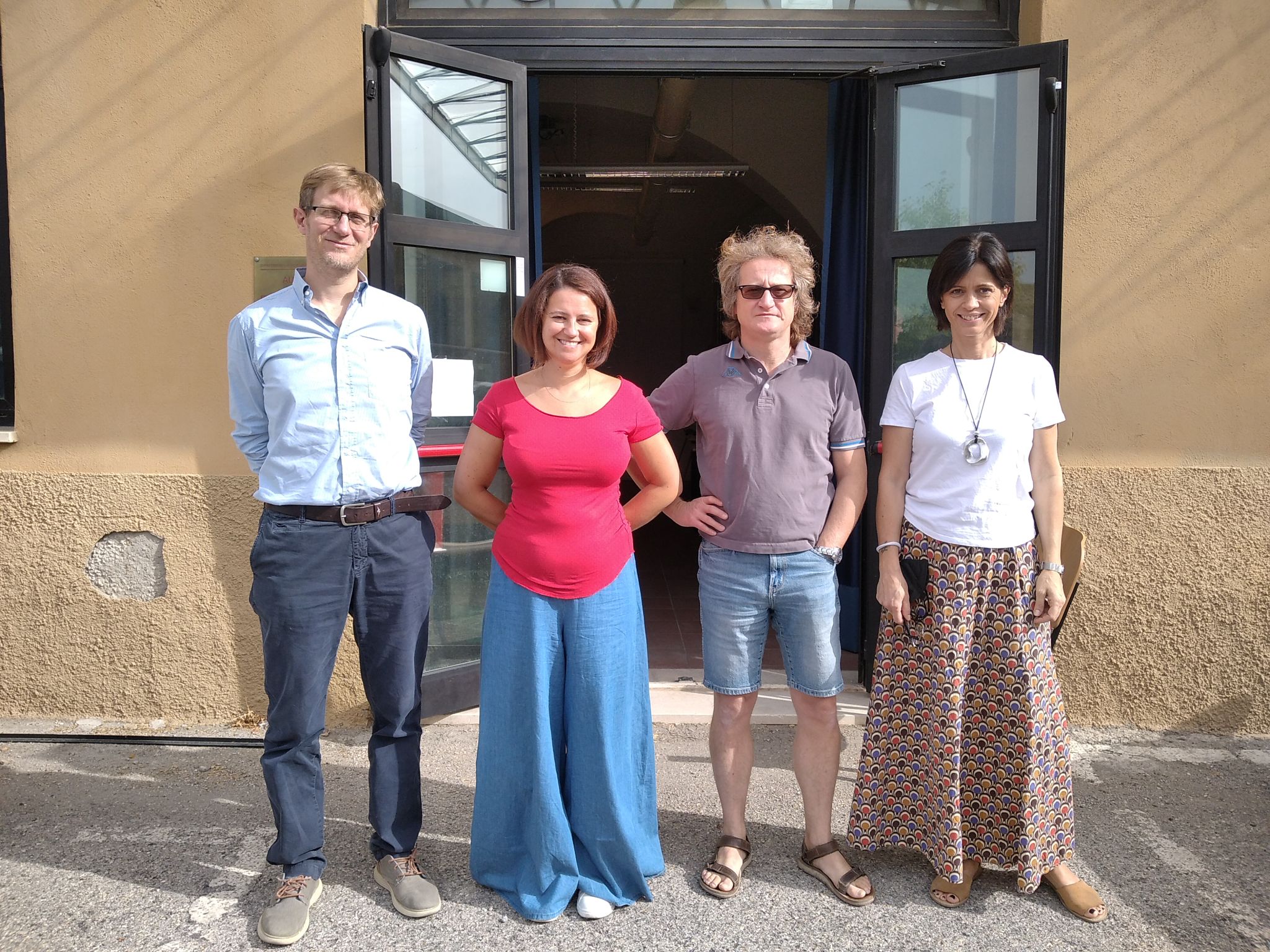
In-person attendance to the conference


Happy faces from all around the world

Digital Elevation Models (DEMs): Terminology and Definitions

There is a new paper on DEM terminology and definitions (open access):

Guth, P.L., Niekerk, A.V., Grohmann, C.H., Muller, J.-P., Hawker, L., Florinsky, I.V., Gesch, D., Reuter, H.I., Herrera-Cruz, V., Riazanoff, S., Lópéz-Vázquez, C., Carabajal, C.C., Albinet, C., Strobl, P., 2021 - Digital Elevation Models: Terminology and Definitions. Remote Sensing, 13(18):3581. https://doi.org/10.3390/rs13183581

The paper is the first major contribution of the DEMIX project (DEM Intercomparison EXercise). The idea is to “consolidate terminology and definitions of key concepts to facilitate a common understanding among the growing community of DEM users, who do not necessarily share the same background”.

Scheme showing the surfaces represented by a DSM, a DTM, and a NVS (Guth et al., 2021)

Latest Posts

ANADEM: A Digital Terrain Model for South America

There is a new paper (open access) describing a Machine Learning-based DTM for South America:

Laipelt L., Andrade B.C., Collischonn W., Teixeira A.A., Paiva R.C.D., Ruhoff A., 2024. ANADEM: A Digital Terrain Model for South America. Remote Sensing 16(13):2321. https://doi.org/10.3390/rs16132321

GRASS GIS 8.4.0RC1 release

The GRASS GIS 8.4.0RC1 release provides more than 515 improvements and fixes with respect to the release 8.3.2.

Check the full announcement at https://github.com/OSGeo/grass/releases/tag/8.4.0RC1.

Please support in testing this release candidate.

Best BiCubic Method to Compute the Planimetric Misregistration between Images with Sub-Pixel Accuracy: Application to Digital Elevation Models

There is a new paper (open access) describing a novel method to estimate sub-pixel planimetric displacements between two DEMs:

Riazanoff, S.; Corseaux, A.; Albinet, C.; Strobl, P.A.; López-Vázquez, C.; Guth, P.L.; Tadono, T. Best BiCubic Method to Compute the Planimetric Misregistration between Images with Sub-Pixel Accuracy: Application to Digital Elevation Models. ISPRS Int. J. Geo-Inf. 13, 96. https://doi.org/10.3390/ijgi13030096