Summary
About 50 researchers from around the world attended the event, mostly by remote connection. The conference only featured oral sessions, with 44 contributions. Three invited keynote talks, by Michael Hutchinson (Australian National University College of Science), Igor Florinsky (Russian Academy of Sciences) and Marco Cavalli (CNR IRPI, Padua) enriched the content of the conference. Contributions were spread over three days, grouped by topic: “use of digital elevation, terrain and surface models” on day 1, “dynamics of earth surface: automated surface analysis and modelization” on day 2, and “modeling geomorphological processes” on day 3.
All of the sessions demonstrated that quantitative analysis of the Earth’s surface is closely related to the scale at which the surface itself is described/represented. Research on a global scale (e.g. aimed at the definition of accurate hydrographic networks) was counterbalanced by studies that focused on centimetric portions of Earth’s surface (e.g. small plates where accretion of tufa/travertine is studied). A related relevant topic was the comparison of lidar data with global (or quasi-global) DEMs and among different global DEMs, using different methods in many study areas. Explicit comparisons highlighted that, in selected areas representative of most existing settings, Copernicus DEM is the best performing; other comparisons in different areas and methods favored MERIT DEM. In all cases, lidar data represents the benchmark. Despite that, a discussion highlighted that peculiar applications may not be so sensitive to details represented in elevation data from lidar and/or SfM measurements to justify the much higher cost. There also have been an explicit proposal to merge global and local elevation data, already existing and available online for Europe.
This also lead to a discussion about the characteristic scale of terrain analysis, and a few presentations described multi-scale approaches as mature tools for a variety of application. Mainly, they described multi-scale methods for estimation of terrain roughness, curvatures, and landform mapping. The relationship between multi-scale approaches and characteristic scale may lead to need of optimization of numerical parameters for terrain analysis and classification.
A few presentations focused on the geomorphological and physical meaning of maps derived from digital terrain models (such as curvatures) or on the definition of new functions aimed at representing the topology of surface water flow directions or the selection of features (derived from DEM) which are relevant in supervised classification applications.
Applications of geomorphometry concepts and algorithms to other disciplines/topics have been numerous and included tectonics, soil erosion, landslide susceptibility, thermokarst phenomena, river forms, coastal habitat and coastal dunes, crevasses in polar ice, inundated areas, glacial cirques and volcanic eruptions.
One addition to the topics of this year’s edition of the conference was specifically commercial and industrial application. The scientific program actually included a few contributions explicitly reporting about industrial processes (microscopic analysis of silicon wafer “topography”) and commercial applications (deposition and analysis of submarine cables, rockfall susceptibility along the Italian national railway). Other contributions, even if not specifically commercial, highlighted the use of algorithms borrowed from computer graphics for terrain segmentation, and adaptation of general purpose software for marine geomorphometry. Moreover, commercial and industrial applications were one of the key topics – along with the role of local/global elevation data – for a proposed session at the upcoming European Geoscience Union General Assembly, prepared by a few of the participants of Geomorphometry 2021.
Contributions presented at the conference are available as peer-reviewed short papers from the book of Proceedings of the 2020 submissions (CNR Edizioni, Rome), or on Zenodo, for new submissions. Most of the presentations are also available as PDF and/or video recording at the conference website; a few of the contributions also have a link to published papers, either on the special issue “Advances in geomorphometry” in the journal Transaction in GIS.
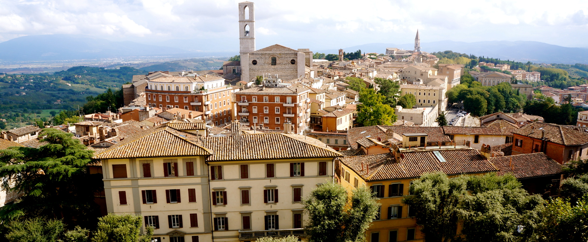
The beautiful city of Perugia
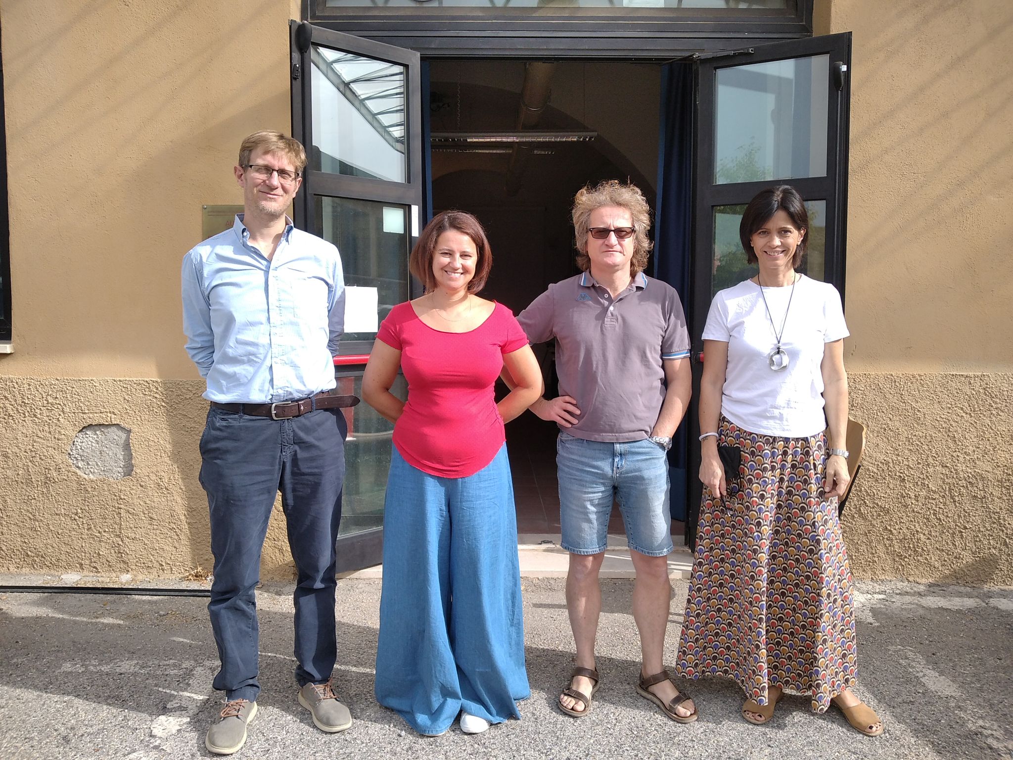
In-person attendance to the conference
Book of Proceedings
Massimiliano Alvioli, Ivan Marchesini, Laura Melelli, and Peter Guth (2020)
Proceedings of the Geomorphometry 2020 Conference, Perugia, Italy
CNR Edizioni, 270 p.
Book DOI: 10.30437/geomorphometry2020
ISBN: 978 88 8080 282 2
ISBN 978 88 8080 410 9 (updated version)
Transactions in GIS special issue:
https://onlinelibrary.wiley.com/toc/14679671/2021/25/5
Scientific Commitee
- Alexander Brenning - Friedrich Schiller University
- A-Xing Zhu - University of Wisconsin
- Carlos Grohman - University of Sao Paolo
- Hannes I. Reuter - European Commission
- Helena Mitasova - North Carolina State University
- Ian Evans - Durham University
- Jaroslav Hofierka - Pavol Jozef Safarik University
- John Gallant - CSIRO
- John Lindsay - University of Guelph
- Lucian Dragut - West University of Timisoara
- Massimiliano Alvioli - CNR IRPI Perugia
- Mihai Niculita - University Al. I. Cuza
- Peter L. Guth - US Naval Academy
- Qiming Zhou - Hong Kong Baptist University
- Qin Cheng-Zhi C- hinese Academy of Sciences
- Robert A. MacMillan - LandMapper Environmental Solutions Inc.
- Samantha Arundel - USGS
- Scott D. Peckham - University of Colorado
- Steve Kopp - ESRI
- Tomislav Hengl - OpenGeoHub Foundation
Organizing Commitee
- Massimiliano Alvioli - CNR IRPI Perugia
- Ivan Marchesini - CNR IRPI Perugia
- Laura Melelli - University of Perugia
- Peter L. Guth - US Naval Academy
Scientific Program
SEPTEMBER 13: USE OF DIGITAL ELEVATION, TERRAIN AND SURFACE MODELS
| 10.00 |
Opening connections |
| 10.15 |
Conference opening |
| 10.30-10.45 |
Jozef Minár, Marián Jenčo and Ian S. Evans
What does land surface curvature really mean?
video |
| 10.45-11.00 |
Cheng-Zhi Qin, Peng Liang and A-Xing Zhu
Two case-based classification strategies of automatically selecting terrain covariates for building geographic variable-environment relationship
presentation
video |
| 11.00-11.15 |
Fran Domazetović, Ante Šiljeg and Ivan Marić
Guidelines for optimization of terrestrial laser scanning surveys over gully erosion affected areas
presentation
video |
| 11.15-11.30 |
Alexey Victorov, Olga Trapeznikova and Timofey Orlov
Probabilistic behavior modeling of morphometric parameters for thermokarst plains with fluvial erosion in Cryolithozone
presentation
video |
| 11.30-11.45 |
Break time |
| 11.45-12.15 |
Keynote talk: Marco Cavalli, Stefano Crema and Lorenzo Marchi
Sediment connectivity assessment through a geomorphometric approach: review of recent applications
presentation
video |
| 12.15-12.30 |
John Gallant
The surface stream function: representing flow topology with numbers
video |
| 12.30-12.45 |
John Gallant
The D8 implementation of the surface stream
video |
| 12.45-13.00 |
Discussion and Conclusion |
| 13.00-14.00 |
Lunch time |
| 14.00-14.15 |
Marina Metes, Kristina Hopkins, Labeeb Ahmed, Sam Lamont, Peter Claggett and Greg Noe
Mapping stream and floodplain geomorphic characteristics with the Floodplain and Channel Evaluation Tool (FACET) in the Mid-Atlantic Region, United States
presentation
video |
| 14.15-14.30 |
Adeyemi Olusola
Lithology and channel network initiation and orientation: a case study of upper Ogun River Basin, Soyhwestern Nigeria
presentation
video |
| 14.30-14.45 |
Priyank Patel, Sayoni Mondal and Rajarshi Dasgupta
Morphometric and channel erosivity analysis of lateritic gully catchments using high resolution DTM and repeat survey Structure-from-Motion datasets
published as full paper in Transactions in GIS
presentation |
| 14.45-15.00 |
Francesco Bucci, Michele Santangelo, Francesco Mirabella, Andrea Mazzoni and Mauro Cardinali
Drainage inversion revealed by geomorphometric analysis of fluvial terraces
presentation
video |
| 15.00-15.15 |
Break time |
| 15.15-15.30 |
Mihai Niculita
Burial mound detection using geomorphometry and statistical methods: pixels versus objects
presentation
video |
| 15.30-15.45 |
Richard Feciskanin and Jozef Minár
An optimization of triangular network and its use in DEM generalization for the land surface segmentation
published as full paper in Transactions in GIS
presentation
video |
| 15.45-16.00 |
Vincent Lecours and Michael Espriella
Can multiscale roughness help computer-assisted identification of coastal habitats in Florida?
presentation
video |
| 16.00-16.15 |
Charles Holderman, Steve Kopp and Nawajish Noman
A New Analytic Framework and Notebook for Terrain Analysis
presentation
video |
| 16.30-16.45 |
Discussion and Conclusion |
SEPTEMBER 14 DYNAMICS OF EARTH SURFACE: AUTOMATED SURFACE ANALYSIS AND MODELIZATION
| 10.00: |
Opening connections |
| 10.30-10.45 |
Peter Guth
Using high-resolution lidar point clouds to evaluate 1-3 arc second global digital elevation models
presentation
video |
| 10.45-11.00 |
Tera Geoffroy and Peter Guth
Using high-resolution ICESat-2 point clouds to evaluate 1-3 arc second global digital elevation models
published as full paper in Transactions in GIS
presentation
video |
| 11.00-11.15 |
Daniele Pinton, Alberto Canestrellli, Christine Angelini, Benjamin Wilkinson, Peter Ifju and Andrew Ortega
Estimating the spatial distribution of vegetation height and ground level elevation in a mesotidal salt marsh from UAV LiDAR derived point cloud
published as full paper in Earth Surface Processes and Landforms
presentation
video |
| 11.15-11.30 |
Guanghui Hu, Liyang Xiong and Guoan Tang
Mathematical vector framework for land surface curvature calculation from triangulated irregular network
video |
| 11.30-11.45 |
Break time |
| 11:45-11:50 |
Announcement of Lifetime Achievement Award
video |
| 11.50-12.20 |
Keynote talk: Michael Hutchinson
Reflections on adding the Z dimension to earth system analysis
presentation
video |
| 12.20-12.35 |
Sebastiano Trevisani
Geomorphometric features selection based on intrinsic dimension estimation
presentation
video |
| 12.35-12.50 |
Kacper Jancewicz, Piotr Migoń, WioletaPorębna and Milena Różycka
High-resolution geomorphometry – a tool for better understanding the genesis and contemporary processes in erosional sandstone landscapes
presentation
video |
| 12.50-13.00 |
Discussion and Conclusion |
| 13.00-14.00 |
Lunch time |
| 14.00-14.15 |
Tomislav Hengl and Leandro Parente
Continental-scale Digital Terrain Model for EU based on Ensemble Machine Learning
video |
| 14.15-14.30 |
Gaurav Sinha and Samantha Arundel
Automated Extraction of Areal Extents For GNIS Summit Features Using the Eminence-Core Method
presentation
video |
| 14.30-14.45 |
Olga Ishalina, Dmitrii Bliakharskii and Igor Florinsky
Detection of crevasses using high-resolution digital elevation models: Comparison of geomorphometric modeling and texture analysis
presentation
published as full paper in Transactions in GIS |
| 14.45-15.00 |
Carlos Grohmann, Guilherme Garcia, Alynne Affonso and Rafael Albuquerque
Coastal dune modelling from airborne LiDAR, terrestrial LiDAR and Structure from Motion–Multi View Stereo
published as https://doi.org/10.1016/j.cageo.2020.104569
published as full paper in Computers & Geosciences
presentation
video |
| 15.00-15.15 |
Break time |
| 15.15-15.30 |
Bartłomiej Szypuła
DEM from topographic maps - as good as DEM from LiDAR?
presentation
video |
| 15.30-15.45 |
Anna Dedkova,Igor Florinsky and Nikolay Djuzhev
Analysis of topography of silicon wafers and wafer-based structures by geomorphometric modeling
video |
| 15.45-16.00 |
Peter L. Guth and Morgan E. Kane
Evaluation of slopes calculated from TanDEM-X digital elevation models at 3 spatial resolutions
video |
| 16.00-16.15 |
Ivan Marić, Ante Šiljeg, Fran Domazetović and Neven Cukrov
A framework for using handheld 3D surface scanners in quantifying the volumetric tufa growth
presentation |
| 16.15-16.30 |
Ante Šiljeg, Vlatko Roland, Lovre Panđa, Ivan Marić, Fran Domazetović, Silvija Šiljeg and Rina Milošević
Development of the new methodological framework for multiscale modeling of urban pluvial flooding
presentation
video |
| 16.30-16.45 |
Discussion and conclusion |
SEPTEMBER 15 MODELING GEOMORPHOLOGICAL PROCESSES
| 10.00: Opening connections |
|
| 10.15: Conference opening |
|
| 10.30-10.45 |
Andrei Dornik, Lucian Drăguț, Marinela Adriana Chețan, Takashi Oguchi, Yuichi Hayakawa and Mihai Micu
Towards a consistent set of land-surface variables for landslide modelling
presentation
video |
| 10.45-11.00 |
Mihai Niculita
Landslide topographic signature prediction using segmentation of roughness and Random Forest
video |
| 11.00-11.15 |
Stefan Steger
The role of pre-landslide morphology in statistical modelling of landslide-prone areas
presentation
published as full paper in Geomorphology |
| 11.15-11.30 |
Mio Kasai
Incorporating ground cracks in the estimation of post-seismic landslide susceptibility
published as full paper in Transactions in GIS
presentation
video |
| 11.30-11.45 |
Break time |
| 11.45-12.15 |
Igor Florinsky, Sergey Filippov and Alexander Govorov
3D marine geomorphometry for the Arctic Ocean
video |
| 12.15-12.30 |
Margaret Dolan, Lilja Bjarnadóttir, Terje Thorsnes, Markus Diesing and Shyam Chand
Geomorphometry in the deep Norwegian Sea
presentation
video |
| 12.30-12.45 |
Queralt Guerrero, Ariadna Salabarnada, Amadeu Deu and Marcelo Devincenzi
Marine geophysical investigations for offshore wind farms and submarine interconnection cables
presentation
video |
| 12.45-13.30 |
Meeting of the International Society for Geomorphometry. Everybody is welcome to attend |
| 13.00-14.00 |
Lunch time |
| 14.00-14.15 |
Ivica Milevski, Marjan Temovski, Balazs Madarasz, Zoltan Kern and Zsofia Ruszkiczay-Rudiger
Geomorphometry of the cirques of Shar Mountain
presentation
video |
| 14.15-14.30 |
Ivica Milevski, Bojana Aleksova and Sonja Lepitkova
Geomorphometric characteristics of the high mountains in North Macedonia
presentation
video |
| 14.30-14.45 |
Ian Sylvester Evans, Nicholas J. Cox,Mihai Niculita and David Milledge
Hypsoclinometric evidence of the degree of modification of mountains by glacial erosion
presentation
video |
| 14.45-15.00 |
Simone Tarquini, Massimiliano Favalli, Melissa Pfeffer, Mattia De’ Michieli Vitturi, Sara Barsotti and Gro Pedersen
Assessing the impact of lava flows during the unrest of Svartsengi volcano in the Reykjaness peninsula, Iceland |
| 15.15-15.30 |
Giuseppe Amatulli, Tushar Sethi, Longzhu Shen, Jaime Ricardo, Garcia-Márquez, Jens Kiesel and Sami Domisch
A new and extendable global watershed and stream network delineation using GRASS-GIS
presentation
video |
| 15.30-15.45 |
Atrayee Biswas, Sunando Bandyopadhyay and Abhijit Chakraborty
Characterizing Gully Morphology using Structure-from-Motion (SfM) in Garhbeta Badlands, West Bengal, India
video |
| 15.45-16.00 |
Badal Pokharel, Massimiliano Alvioli and Samsung Lim
Relevance of morphometric parameters and completeness of inventories in susceptibility modelling of earthquake-induced landslides
published as full paper in Scientific Reports
presentation
video |
| 16.00-16.15 |
Massimiliano Alvioli, Michele Santangelo, Federica Fiorucci, Mauro Cardinali, Ivan Marchesini, Paola Reichenbach and Mauro Rossi
A data-driven method for assessing the probability for terrain grid cells of initiating rockfalls on a large area
published as full paper in Engineering Geology
presentation
video |
| 16.15-16.30 |
Nada Ait Ayad, Adnane Habib, Khalid Elkhalidi, Abdeloihab Choukri and Abdelmounim Charif
Geomorphometric Analysis for Mapping Platforms of the Mazagan Corridor, Morocco |
| 16:30-16:45 |
Announcement of best paper and best student paper awards recipients |
| |
Best student paper award |
| |
Daniele Pinton, Alberto Canestrellli, Christine Angelini, Benjamin Wilkinson, Peter Ifju and Andrew Ortega
Estimating the spatial distribution of vegetation height and ground level elevation in a mesotidal salt marsh from UAV LiDAR derived point cloud
published as full paper in Earth Surface Processes and Landforms
presentation
video |
| |
Best paper award #1 |
| |
Michael Hutchinson
Reflections on adding the Z dimension to earth system analysis
presentation
video |
| |
Best paper award #2 |
| |
Massimiliano Alvioli, Michele Santangelo, Federica Fiorucci, Mauro Cardinali, Ivan Marchesini, Paola Reichenbach and Mauro Rossi
A data-driven method for assessing the probability for terrain grid cells of initiating rockfalls on a large area
published as full paper in Engineering Geology
presentation
video |
| 16.30-17.00 |
Discussion and closing remaks |
