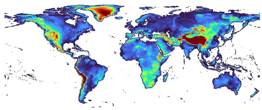
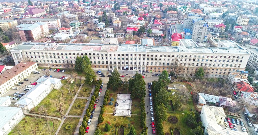
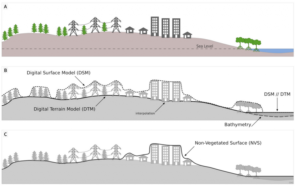
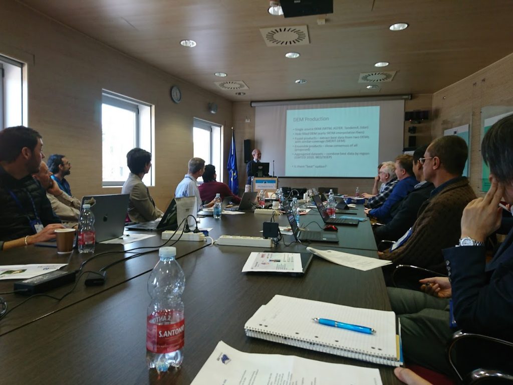
Posted by Yu-Feng Ho February 14, 2023 28 min read An Ensemble Digital Terrain Model of the world at 30 m spatial resolution (EDTM30) Data sets Scripts Read More Posted by Carlos Henrique Grohmann January 5, 2023 4 min read Geomorphometry 2023 Event Read More Posted by Carlos Henrique Grohmann October 6, 2022 4 min read Geomorphometry Coffee Talks Event Read More Posted by Carlos Henrique Grohmann September 27, 2021 7 min read Summary of Geomorphometry 2021 Event Read More Posted by Carlos Henrique Grohmann September 16, 2021 2 min read Digital Elevation Models (DEMs): Terminology and Definitions Publication Read More Posted by Peter Guth August 19, 2021 2 min read Digital Elevation Model Intercomparison eXperiment (DEMIX) working group Publication Read More Posted by tom.hengl August 12, 2021 4 min read Continental Europe Digital Terrain Model at 30 m resolution based on multisource data Data sets Publication Read More Posted by tom.hengl August 12, 2021 1 min read A Hydrologist's Guide to Open Science (preprint) Publication Story Read More