Short title: landprob
Inputs: DEM in metric projection, Source Landslide areas, H/L value as stopping parameter.
Outputs: pq_limi and all other parameters as described in Gruber et al., 2008 article in the Geomorphometry book.
Purpose and use:
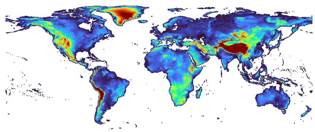
Computes Landslide probabilities — generate landslide probabilities areas using a DEM according to Gruber et al 2008.
&r landslide1 <dem> <sourcearea_dem> {h/l stopping value}
Programming environment: Arc AML
Status of work: Public Domain
Reference: Geomorphometry: Concepts, Software, Applications
Data set name: Baranja hill
Attachment:
![]()