Digital Elevation Model Intercomparison eXperiment (DEMIX) working group

Published: Aug 19, 2021 by ISG Board

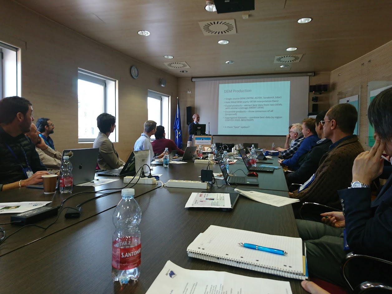
The Digital Elevation Model Intercomparison eXperiment (DEMIX) working group is working to standardize DEM terminology, and evaluate the available global 1 arc second DEMs. They published a paper setting out their goals this summer.

10 minute movie: DEMIX – The Digital Elevation Model Intercomparison EXperiment

story srtm aster alos fabdem nasadem copdem copernicus publication demix

Share

Latest Posts

ANADEM: A Digital Terrain Model for South America

There is a new paper (open access) describing a Machine Learning-based DTM for South America:

Laipelt L., Andrade B.C., Collischonn W., Teixeira A.A., Paiva R.C.D., Ruhoff A., 2024. ANADEM: A Digital Terrain Model for South America. Remote Sensing 16(13):2321. https://doi.org/10.3390/rs16132321

GRASS GIS 8.4.0RC1 release

The GRASS GIS 8.4.0RC1 release provides more than 515 improvements and fixes with respect to the release 8.3.2.

Check the full announcement at https://github.com/OSGeo/grass/releases/tag/8.4.0RC1.

Please support in testing this release candidate.

Best BiCubic Method to Compute the Planimetric Misregistration between Images with Sub-Pixel Accuracy: Application to Digital Elevation Models

There is a new paper (open access) describing a novel method to estimate sub-pixel planimetric displacements between two DEMs:

Riazanoff, S.; Corseaux, A.; Albinet, C.; Strobl, P.A.; López-Vázquez, C.; Guth, P.L.; Tadono, T. Best BiCubic Method to Compute the Planimetric Misregistration between Images with Sub-Pixel Accuracy: Application to Digital Elevation Models. ISPRS Int. J. Geo-Inf. 13, 96. https://doi.org/10.3390/ijgi13030096