Interview with Jack Dangermond, the ESRI president

Published: Oct 15, 2010 by ISG Board

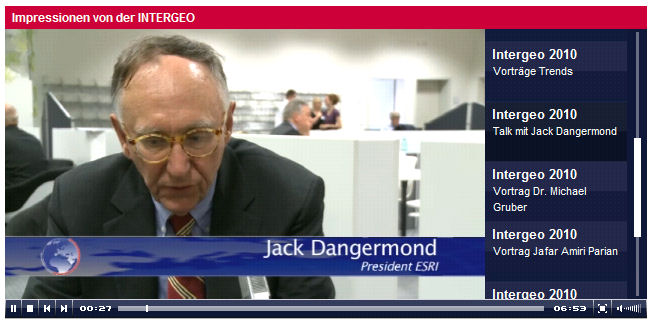
Jack Dangermond, the president of ESRI gave an interesting interview (he talks about the future of GIS and his vision of how the geoinfomation will be collected, processed and distributed) at the 2010 INTERGEO meeting in Colone, Germany. The complete interview can be watched from INTERGEO website. Go to the video player (“Impressionen von der INTERGEO”) then scroll down on the right side to “Talk mit Jack Dangermond”.

story

Share

Latest Posts

ANADEM: A Digital Terrain Model for South America

There is a new paper (open access) describing a Machine Learning-based DTM for South America:

Laipelt L., Andrade B.C., Collischonn W., Teixeira A.A., Paiva R.C.D., Ruhoff A., 2024. ANADEM: A Digital Terrain Model for South America. Remote Sensing 16(13):2321. https://doi.org/10.3390/rs16132321

GRASS GIS 8.4.0RC1 release

The GRASS GIS 8.4.0RC1 release provides more than 515 improvements and fixes with respect to the release 8.3.2.

Check the full announcement at https://github.com/OSGeo/grass/releases/tag/8.4.0RC1.

Please support in testing this release candidate.

Best BiCubic Method to Compute the Planimetric Misregistration between Images with Sub-Pixel Accuracy: Application to Digital Elevation Models

There is a new paper (open access) describing a novel method to estimate sub-pixel planimetric displacements between two DEMs:

Riazanoff, S.; Corseaux, A.; Albinet, C.; Strobl, P.A.; López-Vázquez, C.; Guth, P.L.; Tadono, T. Best BiCubic Method to Compute the Planimetric Misregistration between Images with Sub-Pixel Accuracy: Application to Digital Elevation Models. ISPRS Int. J. Geo-Inf. 13, 96. https://doi.org/10.3390/ijgi13030096