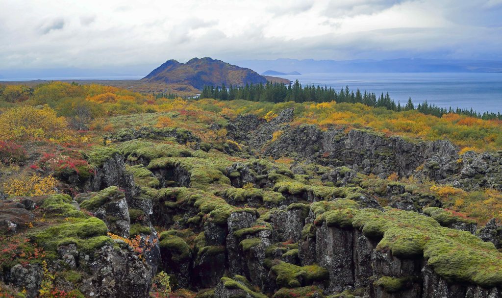
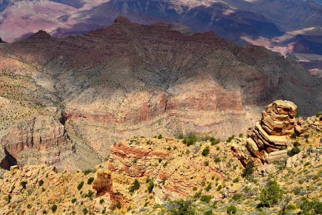
The case study “fishcamp” is of size 1×2 km; located at 37.46353 N; 119.6119 W. The coordinate system used is the UTM NAD83 zone 11 North i.e. EPSG:26911. The complete dataset was obtained from the USGS National Map seamless server.
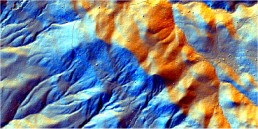
2,5 m LiDAR DEM 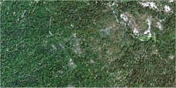
1 m color orthoimage 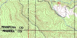
Topo-map 1:25k (contour lines) 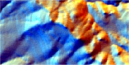
10 and 25 m DEMs
Available layers:
– DEM2m.asc — 2.5 m DEM derived from the LiDAR survey (ground reflectance);
– DEMNED03.asc — 10 m National Elevation Dataset;
– DEMSRTM1.asc — 1 arcsec SRTM DEM (finilized);
– lidar.shp — subsampled LiDAR point measurements (the original dataset consist of over 5 milion of points);
– orthoimg.lan — National Agriculture Imagery Program (NAIP) Orthoimagery for Zone 11;
– topo24k.lan — 1:24k topo-map “White Chief Mountain, CA (37119-D5-TF-024);
– contours.shp — contours digitized from the topo24k map; – tstreams.shp — contour lines digitized from the topo map;
– soilmu.asc — 5 m gridded soil map for the area (1=”HOLLAND FAMILY, 35 TO 65 PERCENT SLOPES”, 2=”CHAIX-CHAWANAKEE FAMILIES-ROCK OUTCROP COMPLEX”, 3=”CHAIX FAMILY, DEEP, 5 TO 25 PERCENT SLOPES”, 4=”CHAIX FAMILY, DEEP, 15 TO 45 PERCENT SLOPES”, 5=”HOLLAND FAMILY, 5 TO 65 PERCENT SLOPES (VALLEYS)”, 6=”CHAIX-CHAWANAKEE FAMILIES-ROCK OUTCROP COMPLEX (HILLTOPS)”)
Grid definition:
ncols: 400
nrows: 200
xllcorner: 267999
yllcorner: 4148999
cellsize: 5 m
proj4: +init=epsg:26911 +proj=utm +zone=11 +ellps=GRS80 +datum=NAD83 +units=m +no_defs +towgs84=0,0,0
Lineage:
The data set was obtained from the USGS National Map seamless server (http://seamless.usgs.gov). The map of soil mapping units was obtained from the Natural Resources Conservation Service (NRCS) Soil Data Mart (http://soildatamart.nrcs.usda.gov). The scripts used to predict soil mapping units and extract landforms are available via the authors website. The elevations range from 1400 to 1800 meters. There are six soil mapping units: (1) Holland family, 35 to 65% slopes; (2) Chaix-chawanakee family-rock outcrop complex; (3) Chaix family, deep, 5 to 25% slopes; (4) Chaix family, deep, 15 to 45% slopes, (5) Holland family, 5 to 65% slopes, valleys; (6) Chaix-chawanakee families-rock outcrop complex, hilltops.
Data owner: USGS
Reference: {A Practical Guide to Geostatistical Mapping}
Location: Fishcamp, United States
37° 27′ 48.708″ N, 119° 36′ 42.84″ W
See map: Google Maps
Attachment:
![]()